 |
||
|
|
Section Castelnau-Beziers of the Via Domitia
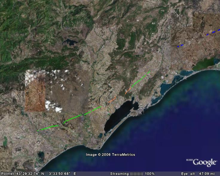
you can load the track in GoogleEarth
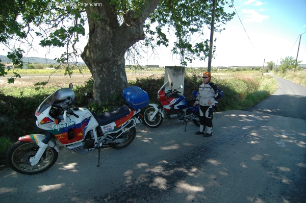
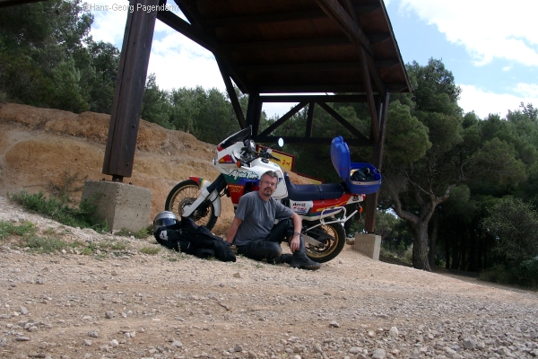
I have travelled the full length of the roman road where possible with my motorcycle in 2005. These visits comprise many roads and rural pathes where the roman road is still in use today as well as some offroad sections where the roman road was located with good maps and GPS. This placemark file is a collection of my GPS routes and tracks, which indicate those sections which I consider to be identified as parts of the 2000-years-old road. Even though I consulted plenty of literature I pass this information to you without warranty. Simply go there and see for yourself!
 |
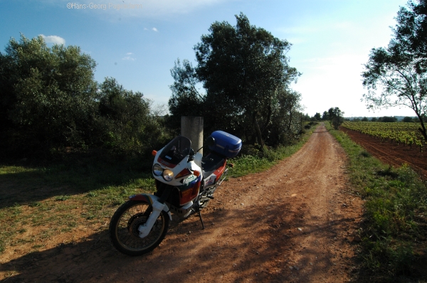
Section: Sextantio - Forum DomitiiWest of Castelnau all traces of the Via Domitia soon disappear in the much younger city of Montpellier. The old route may be re-joined in terms of the small road D185E an in linear continuation near Fabregues. West of Fabregues the Via Domitia still exists as a rural driveway. The route is marked by milestones which count the distance from Narbonne. The mile 47 is indicated east of the next roman relais station named Forum Domitii. While the location of this place is today known from vegetation marks visible in aerial photography, the only obvious trace is the Rue du Forum in Montbazin.All Google Earth placemarks of this section. Google Earth track showinf the Via Domitia in the region
|
 |
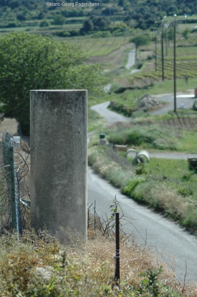
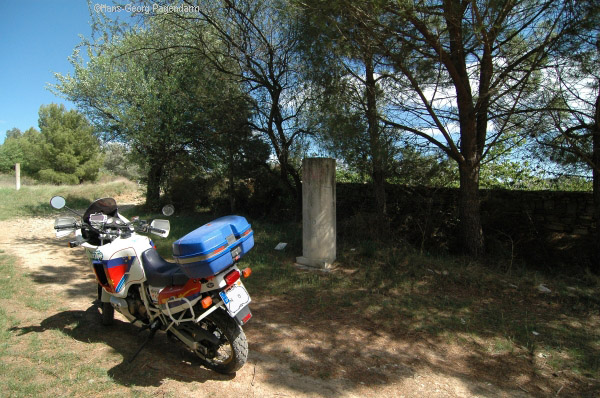
Milestones 46 and 45West of Montbazin the Via Domitia still exists as a country road. The route is marked by milestones which count the distance from Narbonne. The milestone 46 is shown on the right.
|
 |
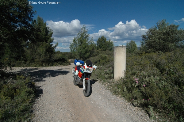
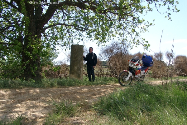
Milestones 44Milestone 44 is north of Poussan. The milestone 44 is shown on the right.
|
 |
Milestones 43Milestone 43 is north of Poussan. The milestone 43 is shown on the right.(Google Earth placemark)In the nearby village of Loupian there is a roman villa with excellent mosaics and the remains of a church from the earliest years of christianity. Google Earth placemark for the roman villa Google Earth placemark for early church Google Earth track north of Loupian
|
 |
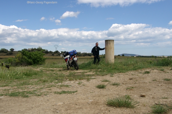
Milestones 38Milestone 38 is west of Loupian.
|
 |
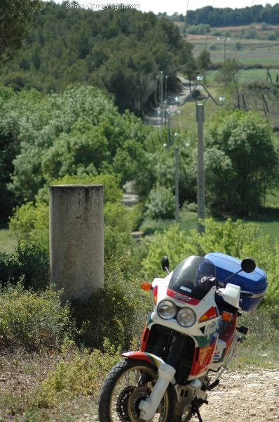
Milestones 37Milestone 37 is difficult to find because the ancient road is interupted in this region.
|
 |
Milestones 36Milestone 36 sits on a hilltop.
|
 |
Milestones 35Milestone 35 was dicovered being burried in a nearby creek. It is today placed on its proper position again.
|
 |
archeological displayNorth of Pinet there is an archeological display illustrating the methods used by the roman engineers to built the exactly linear road and protect it from erosion for centuries. A section is cut through the road allowing take a look at the layers of gravel and the lateral ditches for drainage.
|
 |
Milestones 34Milestone 34 is west of the archeological display.
|
 |
Milestones 33Milestone 33 is about half way towards the next major landmark in St. Thibery.
|
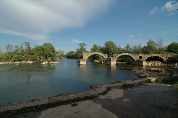 |
Cessero (St. Thibery)The next relais stop along the Via Domitia was Cessero which is today's St. Thibery. The route of the roman road is sign-posted inside the town. The river Herault passes east of St. Thibery and posed a major obstacle for the roman road. Obviously, the location to cross the river has changed over time. Finally, a bridge was built a little bit south. The bridge needed to be rebuilt in medieval time and today only three arches are left.
|
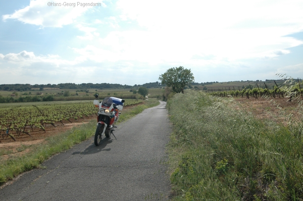 |
section: Cessero Bitterae (St. Thibery - Beziers)West of the roman oppidum Cessero the traces of the Via Domitia are hidden under the regional road D18 and agricultural driveway of La Pinede. West of a section rendered invisible due to the Beziers Golf Course one may re-join the ancient roman route as today's D28. Entering Beziers from the east, this road is named Voie Domitienne and lead straight to the heart of the city.
|
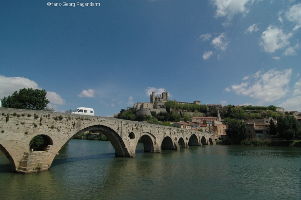 |
section: Via Domitia in BeziersMost roman landmarks such as the theater and the arena are hidden under the medieval buildings of the city. But the roman bridge built to cross the river Orb is still open for traffic today and forms a favourite view of Beziers together with the cathedral St. Nazaire.
|
| more Google Earth related files | |
| Diese Seite auf deutsch |