 |
||
|
|
Section Beziers-Narbonne of the Via Domitia

you can load the track in GoogleEarth
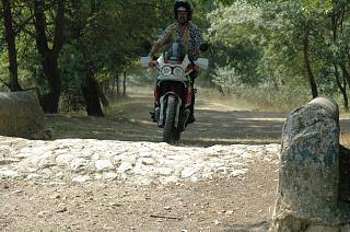
I have travelled the full length of the roman road where possible with my motorcycle in 2005. These visits comprise many roads and rural pathes where the roman road is still in use today as well as some offroad sections where the roman road was located with good maps and GPS. This placemark file is a collection of my GPS routes and tracks, which indicate those sections which I consider to be identified as parts of the 2000-years-old road. Even though I consulted plenty of literature I pass this information to you without warranty. Simply go there and see for yourself!
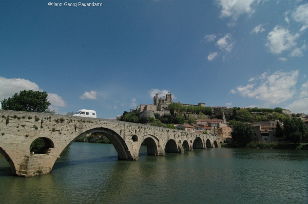 |
section: Via Domitia in BeziersMost roman landmarks such as the theater and the arena are hidden under the medieval buildings of the city. But the roman bridge built to cross the river Orb is still open for traffic today and forms a favourite view of Bezier together with the cathedral St. Nazaire.
|
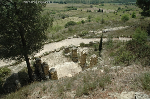 |
section: Beziers NarbonneThe Via Domitia leaves Beziers in linear continuation of the Pont Vieux only interupted by the crossing of the Canal du Midi which was built in the 17th century. West of Colombieres the Via Domitia approaches the oppidum of Enserune, a celtic settlement. The archeological excavations may be visited. The Via Domitia climbs over the hill approximately where the Canal du Midi passes through the Tunnel du Malpas.
|
 |
PontsermeThe ancient roman route continues straight on along the road D37 to a ruin named (Monsac) in the open landscape, where the Via Domitia turn south to approach Narbonne. It crosses a small old bridge and continues south along the Canal de la Noer. The nearby farm is named Pontserme from the latin pons septimus, the bridge at the seventh mile. The ancient route still lives in the street name Ancienne Chemin de Coursan .
|
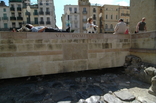 |
NarbonneA paved piece of the Via Domitia is displayed in the center of Narbonne in front of the palast of the archbishop. The road the crossed what was the river Aude during the roman era on a living bridge still today covered with houses on both sides.
|
| more Google Earth related files | |
| Diese Seite auf deutsch |